Pipeline Trek - Pipeline to North Part 1 (Murnane Service Reservoir - Mandai Slope)
Distance: 9.5km
Getting
There:
MRT King
Albert Park Exit A station
stops ID: DT6
Returning
Route:
Board bus
171 Before Mandai Lake Rd Stop ID: 48029 and alight at Bukit Panjang Station
Exit A/LRT Stop ID: 44029
Route
MRT King Albert Park> Upper Bukit
Timah Road> Old Bukit Timah Railway Station (1 Bukit Timah
Railway Station, Singapore 599938>
Bukit Timah Railway Bridge>
Cross
Bukit Timah Railway Bridge>
Rifle Range Road>
Mayfair Park>
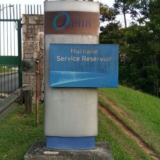
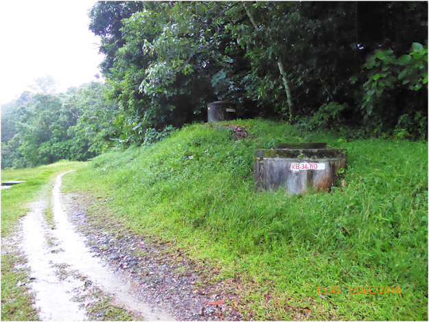
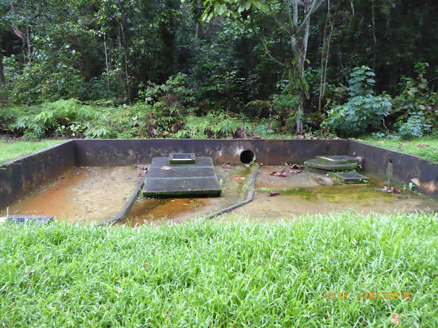
Temasek Club (131 Rifle Range Rd, Singapore 588406 for F&B, Toilet)> Rifle Range Road> Jln Kampong Chentek & Murnane Reservoir (The reservoir supplements and provides backup water supply for the western regions of Singapore.)>
Cross
Road Track into Bukit Timah Natural Reserve>
ECO-LINK @ BKE (The ECO-LINK@BKE is an ecological bridge in Singapore which connects the Bukit Timah Nature Reserve with the Central Catchment Nature Reserve. The ECO-LINK is 62 metres long and crosses over the Bukit Timah Expressway. The bridge is shaped like an Hourglass and at its narrowest point is 50 metres wide)>
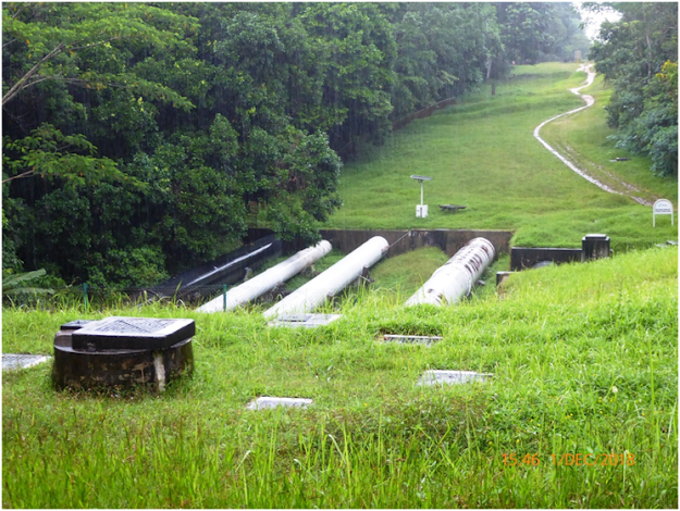
Pipeline (No Walking on it)>
Mud Track (walk on wood)>Mud Track (walk on wood)>
Split Road> Dairy Farm Nature Park (On the Right)(Set in a rustic environment with multiple trails for hiking and biking, the 75-hectare Dairy Farm Nature Park offers a host of recreational activities and amenities such as a nature trail and former quarry. But the park’s main attraction is the Wallace Education Centre, Singapore’s first field study hub for schools.)>
Turn Right to Belukar Trail>
Walk to ZhengHua Nature Park
(The 13.5 hectare linear Zhenghua Nature Park was completed in 2002 and
stretches for about 2.5 km along the BKE, linking the Bukit Panjang Park
Connector to Bukit Timah Nature Reserve. A 3.8 hectare extension was opened in
November 2015, bringing the total area of Zhenghua Nature Park to 17.3
hectares.
The nature park is part of
our holistic approach to strengthen the conservation of the biodiversity of our
nature reserves. By forming a vital ecological linkage between nature reserves
and forested areas in the west like the Western Catchment, it facilitates the
safe passage of fauna among green spaces. Such buffers thus function as
extensions of the Reserve. >
Bukit Panjang Community Garden
Trail>
Pipeline just before Bukit Panjang Road (No Walking on it)>
F&B, Toilet Faculties - Kim San
Leng Food Centre Bukit Panjang (259, #01-36 Bukit Panjang Ring Rd, 670259)
& Bukit Panjang Hawker Centre and Market (2 Bukit Panjang Ring Rd,
Singapore 679947)
Cross under BKE Flyover near Block 274 Bangkit area (Northern Hiking Route)>
Northern Hiking Loop Hut>
Observation
Tower @ Chestnut Nature Park>
Gangsa Track (Beside the Hut)> Gansa Loop (Split Track)>
Mandai T15 Trail>
Trail>
Central Catchment Park Connector
Mandai Park Connector Entrance (Toilet at Singapore Zoo, Bus for 1 stop)>
Returning
Route:
Board bus 171 Before Mandai Lake Rd Stop ID: 48029 and alight at Bukit Panjang Station Exit A/LRT Stop ID: 44029











Comments
Post a Comment